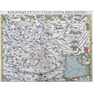

Poland and Hungary - " Poloniae et Ungariae nova descriptio " Basel 1552.
One of the earliest maps of Poland dating from the reign of the last of the Jagiellons in Poland - King Sigismund II Augustus.
Authored by the eminent German cosmographer, cartographer and scholar Sebastian Münster ( 1488 -1552), it comes from the famous cannon "Cosmographia" and was printed while its creator was still alive. The printer from whose workshop in Basel the presented map came out is Heinrich Petri - [Henricus Petrus] who lived in the years (1508-1579), being Musnter's stepson, and ranked among the best printers of the 16th century. [From under his fonts in 1566 came the second edition of "On the Revolutions of the Heavenly Spheres " by Nicolaus Copernicus ].
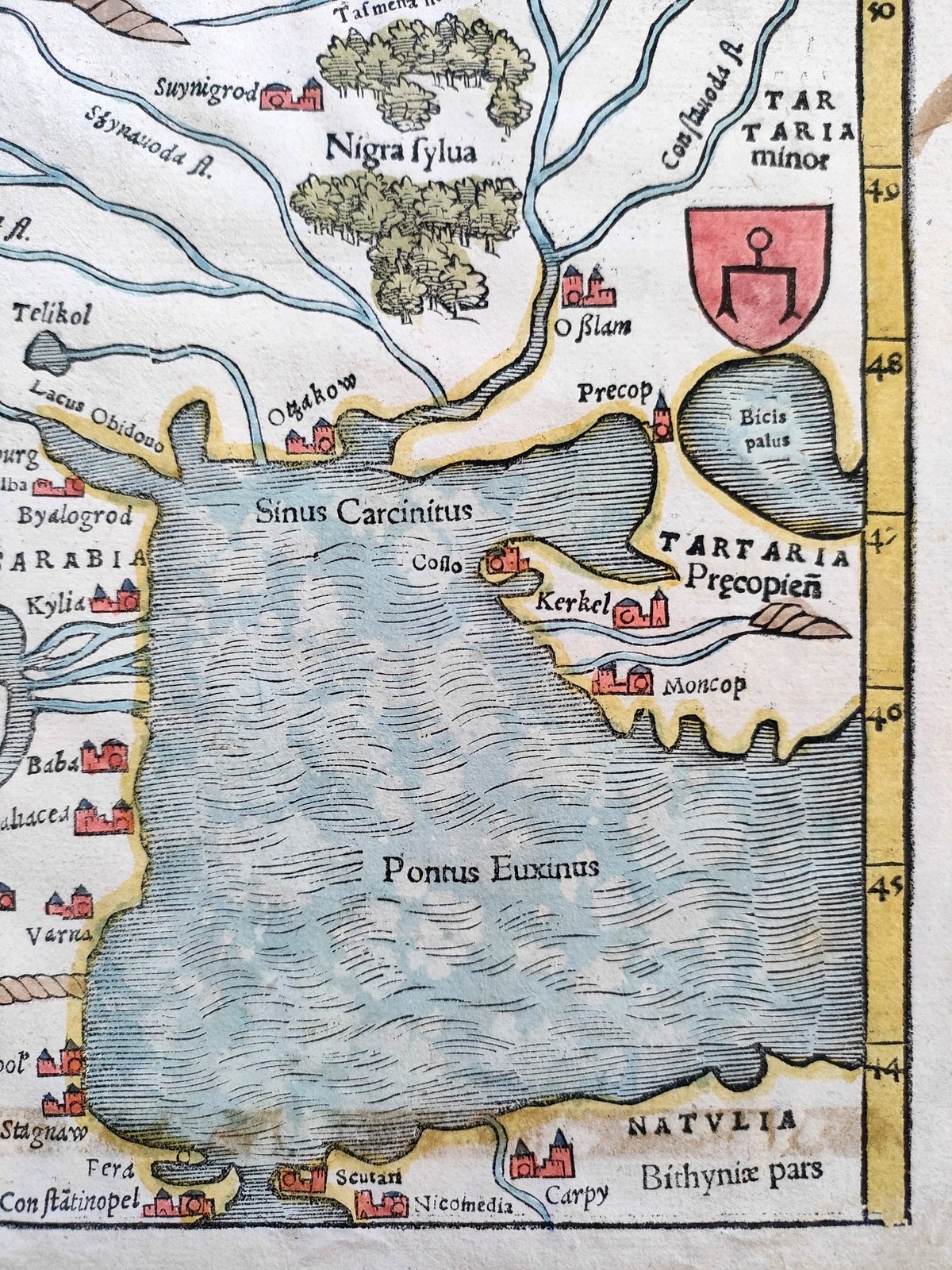
Made in woodcut technique, the hand-colored map covers the area from the Adriatic Sea, Constantinople and the Black Sea [Pontus Euxinus] in the south through the Balkans, Central Europe to Vilnius in the north. The map shows in detail a picture of Poland, the location of cities such as Krakow, Radom, Olsztyn and many others, and the rivers crossing it such as the Bug, Narew, and also, for example, with a fairly accurate location of the source of the Vistula River [Fons Vistulae] lying south of Kêty [Canti].
A curiosity is the Tartar coat of arms placed at the right edge of the map, reminiscent of the noble Radwan coat of arms.
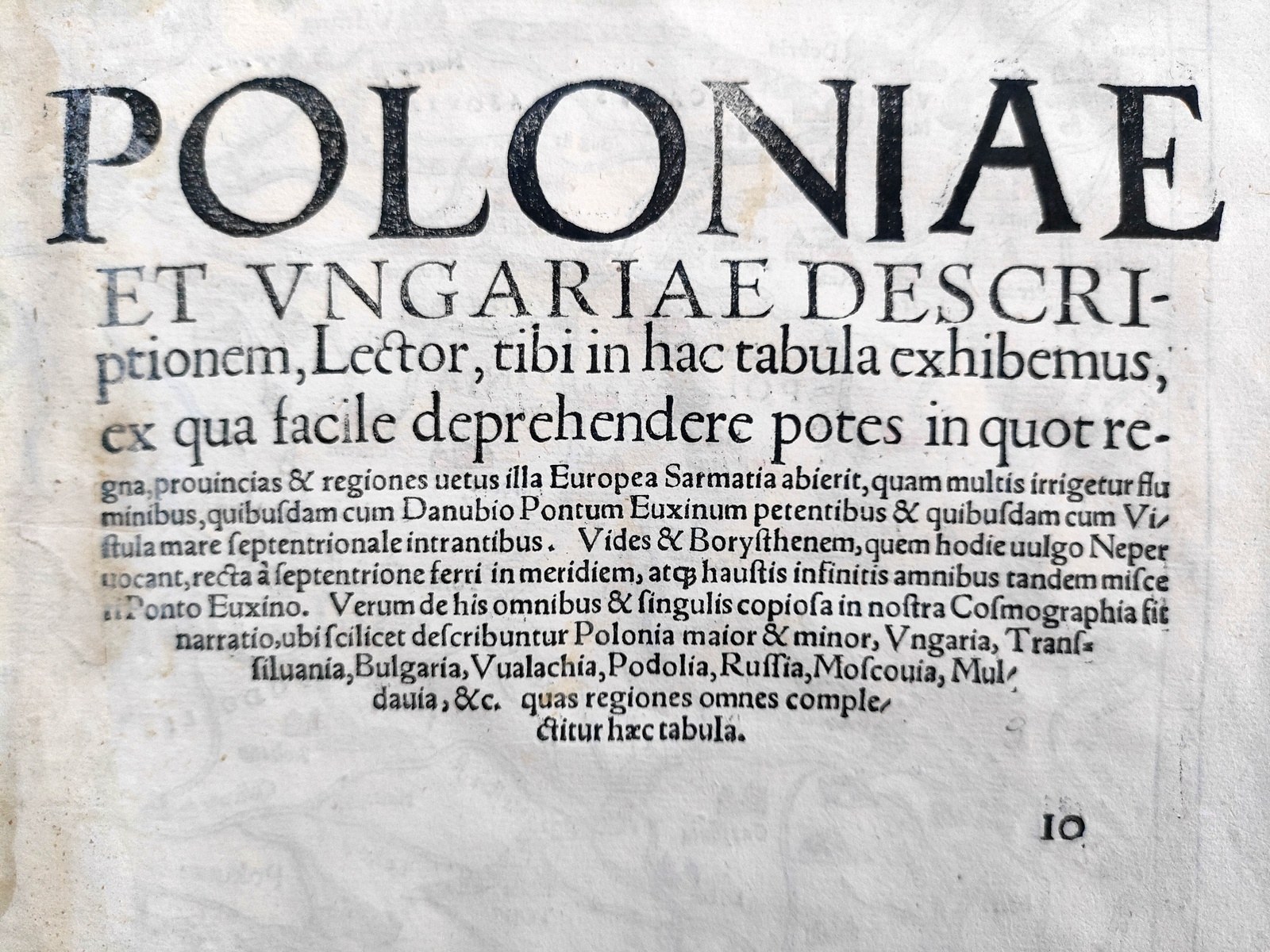
On the back a short description of the card in Latin in the editorial layout typical of 16th century prints. Handmade paper Very good condition with a slight woodworm mark over the titlepage of the map .
Format : 31 x 40.5 [cm].
Rare, almost 500 year old map of Poland from the time of the last Jagiellons.