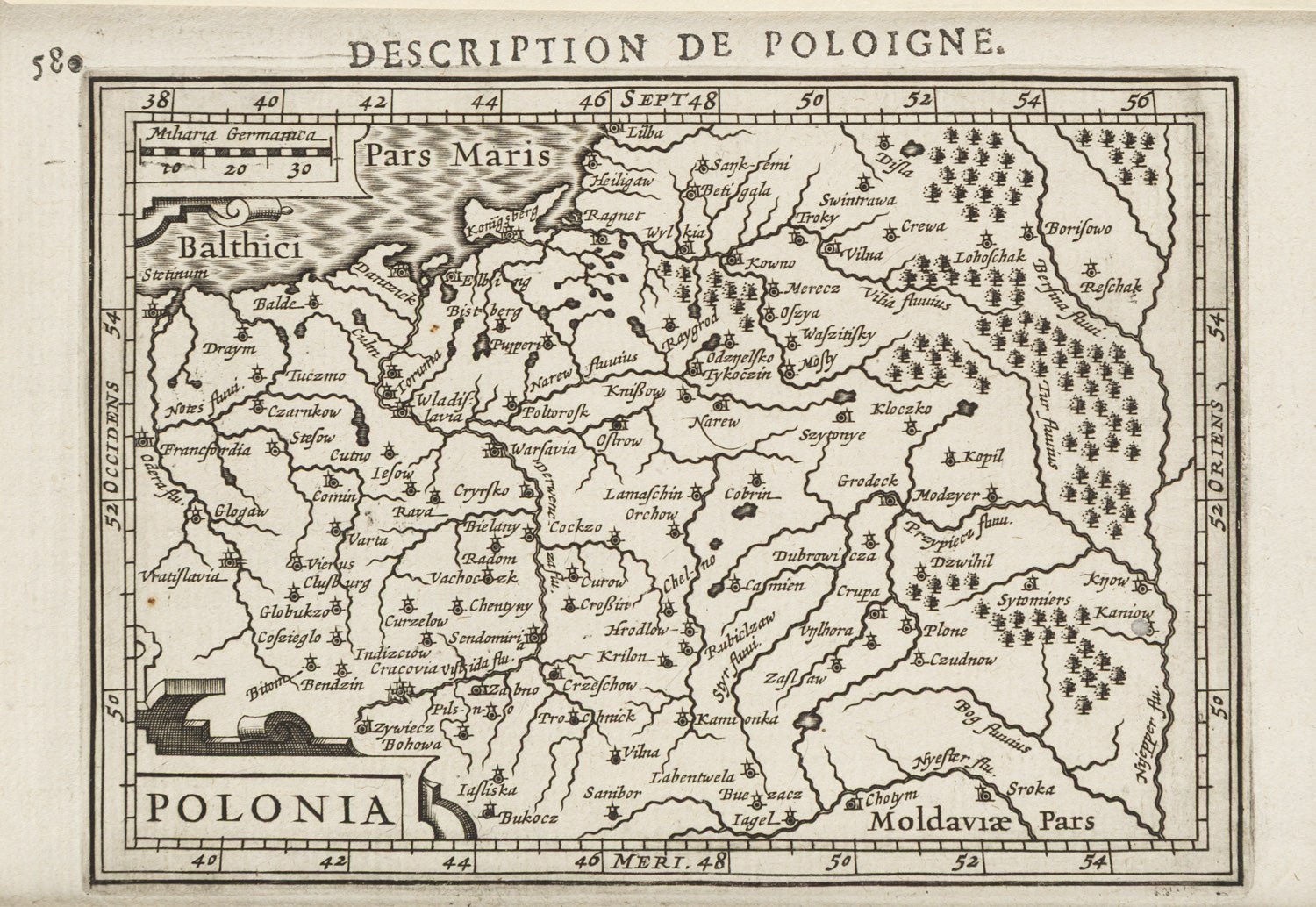
Dimensions: 10.3 x 15.3 cm (inside the mat)
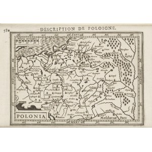
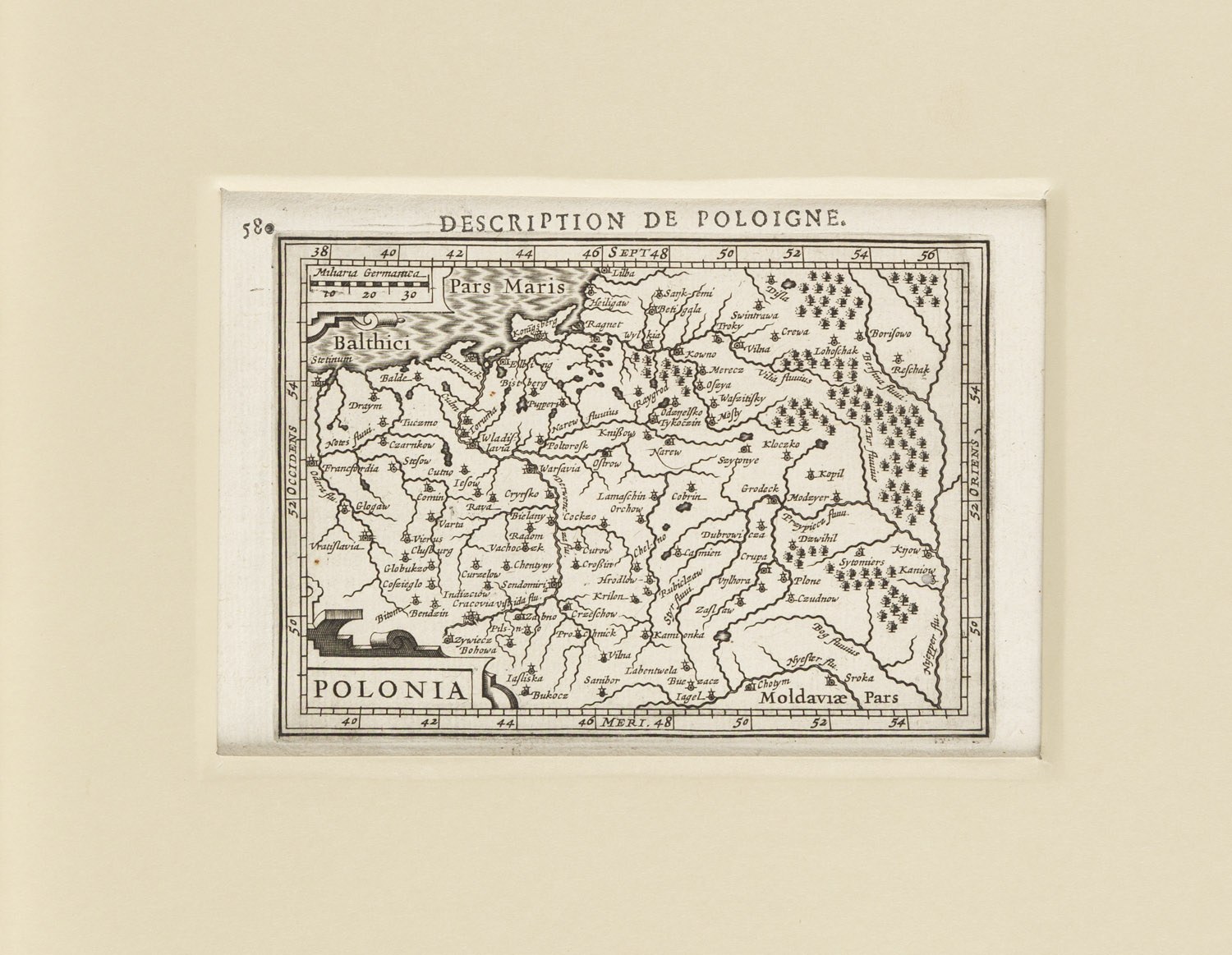
The map known as *Description de Poloigne* (or, in Latin, *Polonia. Descriptio Poloniae*) is a copperplate engraving by Petrus Bertius, etched by Jodocus Hondius (or his son, Jodocus II), and first published in 1616.
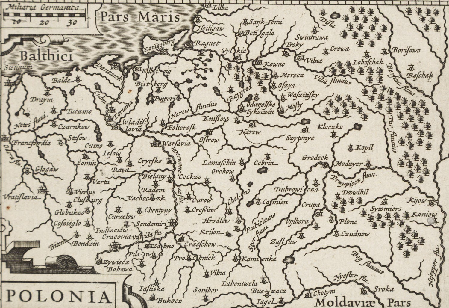
This small-format map comes from the pocket atlas *Tabularum Geographicarum Contractarum* and was based on the works of prominent cartographers of that era, including Wacław Grodecki and Abraham Ortelius. It depicts the territory of the Polish-Lithuanian Commonwealth, including Prussia and Lithuania, and is characterized by a precise rendering of the terrain (rivers, forests, cities) using the copperplate engraving technique.
Bibliography
Szaniawska, Analysis, pp. 96–97, no. 5925