


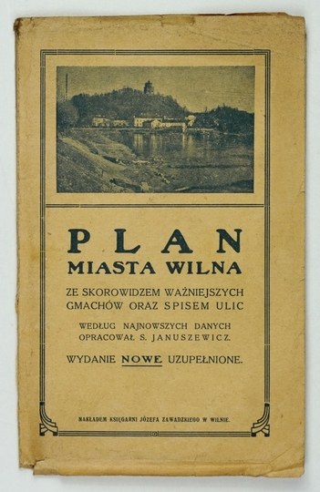
[VILNIUS]. Map of Vilnius. Color map. 56.7 x 47.2 cm.
An expanded second edition of the city map prepared by S. Januszewicz in 1921, published in Vilnius in 1930 by J. Zawadzki’s Printing and Publishing House. Printed in Bydgoszcz at the “Biblioteka Polska” Graphic Works. Title in a frame in the upper left corner, with the scale (1:12,500) and grid lines in the same place. The map is divided into sectors (1–10, A–K). On the reverse side, a list of streets and an index of major buildings. The original paperback cover is preserved. Scuffing on the cover, slight wear at the folds, minor staining on the map.











Paskutiniai peržiūrėti
Prisijunkite, jei norite pamatyti pozicijų sąrašą
Mėgstami
Prisijunkite, jei norite pamatyti pozicijų sąrašą